Travel Mode
Driving
Public Transport
Walking
Cycling
Travel Time
5 Mins
6 Mins
7 Mins
8 Mins
9 Mins
10 Mins
11 Mins
12 Mins
13 Mins
14 Mins
15 Mins
16 Mins
17 Mins
18 Mins
19 Mins
20 Mins
21 Mins
22 Mins
23 Mins
24 Mins
25 Mins
26 Mins
27 Mins
28 Mins
29 Mins
30 Mins
31 Mins
32 Mins
33 Mins
34 Mins
35 Mins
36 Mins
37 Mins
38 Mins
39 Mins
40 Mins
41 Mins
42 Mins
43 Mins
44 Mins
45 Mins
46 Mins
47 Mins
48 Mins
49 Mins
50 Mins
51 Mins
52 Mins
53 Mins
54 Mins
55 Mins
56 Mins
57 Mins
58 Mins
59 Mins
60 Mins
Arrive / Depart
Arrive
Depart
Date & Time
Generate
Cancel
Select Buffer Distance:
1 km
2 km
3 km
4 km
5 km
6 km
7 km
8 km
9 km
10 km
11 km
12 km
13 km
14 km
15 km
16 km
17 km
18 km
19 km
20 km
21 km
22 km
23 km
24 km
25 km
26 km
27 km
28 km
29 km
30 km
Generate
Cancel
School Locations
Data for Government and Independent schools is sourced from Australian Curriculum, Assessment and Reporting Authority
(acara).
Catholic Schools
Primary School
ALL
MACS
NON-MACS
Secondary School
ALL
MACS
NON-MACS
Combined School
ALL
MACS
NON-MACS
Special School
ALL
MACS
NON-MACS
Board Approved New School
ELC Locations
Data for Early Learning Centres is sourced from Australian Children's Education & Care Quality Authority
(acecqa).
Early Learning Centers
Family Day Care
Long Day Care
Preschool/Kindergarten
Outside School Hours Care
Basemaps
Basemaps are background or reference maps that provide contextual information to support the interpretation of other layers in a map.
OpenStreetMap
ESRI Topomap
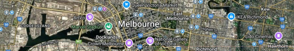
Travel Time Map
ESRI World Street
Google Satellite Map
Google Hyrid Map
Geographic Boundaries
ABS geographic boundaries are sourced from the Australian Bureau of Statistics
(ABS).
Administrative Boundaries for Victoria are sourced from
DATA VIC.
SAM boundaries are sourced from
SGS Economics & Planning.
Catholic Geographic Boundaries
Parish
Region
Diocese
Administrative Boundaries
Locality
Local Government Area
ABS Boundaries
Statistical Area 1 (SA1)
Statistical Area 2 (SA2)
Statistical Area 3 (SA3)
Statistical Area 4 (SA4)
Other Geographic Boundaries
Precinct Structure Plans (PSP)
Small Area Model (SAM)
Messages
Show Label
Show School Catchment
Generate Travel Time
Generate Distance Buffer
Show Label
Show Catchment
Generate Travel Time
Generate Distance Buffer
Show Label
Generate Travel Time
Generate Distance Buffer
Show Label